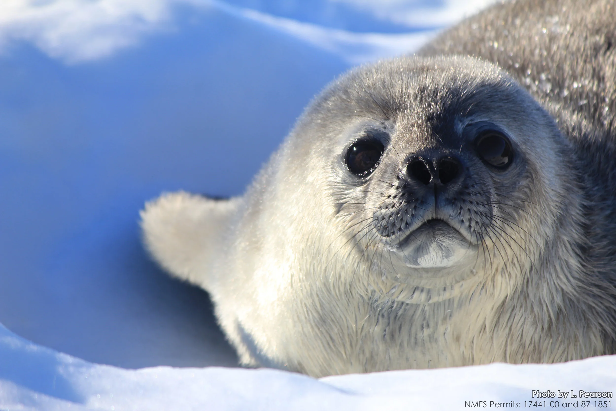
Weddell Seal Facts
Why are they called Weddell seals?
They were named for Sir James Weddell, a British sealing captain in the 1820s.
Common name: Weddell seal
Scientific name: Leptonychotes weddellii
Where do they live?
Weddell seals live all around Antarctica, and stay mostly near the “fast ice” – the ice that is attached to the land. They are safer there than on the “pack ice” – the ice floes near the water, because their main predator is the killer whale.
What do they eat?
Their favorite food is fish, especially Antarctic cod (Dissostichus mawsoni) and Antarctic silverfish (Pleuragramma antarcticum). They also eat cephalopods (squid and octopus) and crustaceans like krill or prawns.
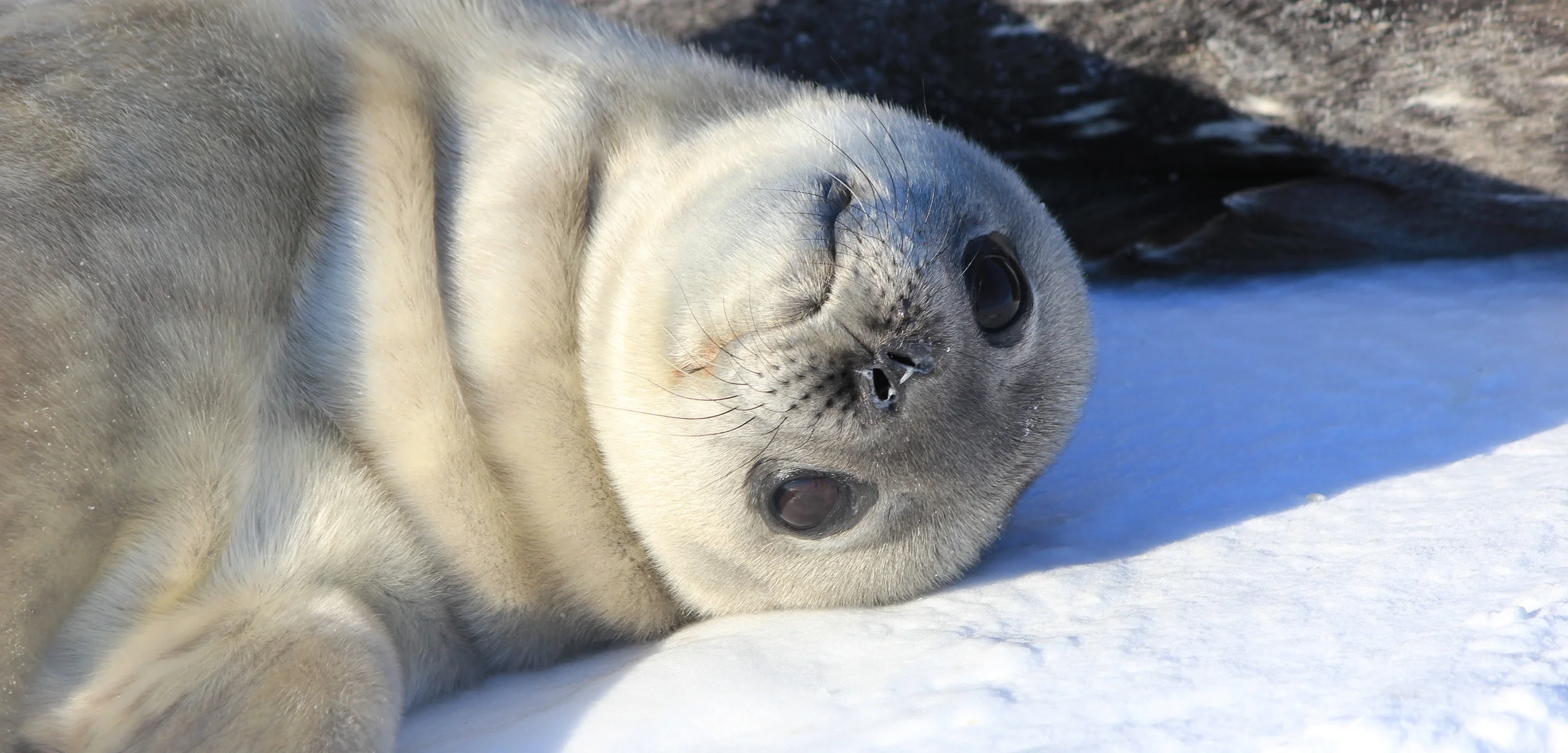
How big are they?
Adult Weddell seals are 2.5-3.5 m (8-11.5 feet) long, and weigh 400-600 kg (880-1320 lb). Females are usually slightly larger than males. Pups are born at 1.2-1.5 (4-5 feet) long and weighing 22-30 kg (48-66 lb).
How deep do they dive?
The deepest recorded dive was 1200 m (nearly ¾ of a mile) below the surface! They can hold their breath for up to 90 minutes. Some of the time they spend holding their breath includes finding and possibly fighting for access to a breathing hole.
What do they sound like?
Weddell seals make incredible sounds! It almost sounds like something from outer space. They produce trills, whistles, chirps, buzzes, and “chugs.” Watch this video to listen to some of the amazing sounds they make:
Where in the World is McMurdo Station?

World map showing Antarctica
Antarctica is the southernmost continent. Ross Island, where McMurdo Station is located, is almost directly south of New Zealand.

Herried, B., Rejcek, P., Hood E. (2015). "Antarctica: United States Antarctic Program (USAP) Science."
Antarctica with Ross Island
This is the typical map of Antarctica. The Antarctic peninsula (top left) is near South America. Ross Island is nestled in the Ross Sea, toward the bottom of this map.

Ross Island and Beaufort Island & Franklin Island,
by Brad Herried, Polar Geospatial Center
Ross Island with McMurdo
This is a map of Ross Island. McMurdo Station is located at the tip of Hut Point Peninsula.

Hut Point Peninsula & Erebus Bay, Ross Island, Antarctica
by Brad Herried, Polar Geospatial Center
Hut Point / Erebus Bay, with our field sites (Turtle Rock and Hutton Cliffs)
This map shows Erebus Bay and our field sites. We will be studying Weddell seals at Turtle Rock and Hutton Cliffs, where breeding colonies are located.